I was doing a lot of self reflection on the plane over to Switzerland. I even wrote a blog post about my thoughts. I may share them at some point but I decided to back burner that whole thread because it ended up being just a bit too personal. So instead I am just going to share this trip and the amazing scenery we immersed ourselves in.
I certainly took lots and lots of photos, but this wasn’t a photo specific trip. Just a vacation / bucket list adventure to use up the last of summer. The inspiration to go hike Switzerland was my wifes idea. We both love hiking and the Swiss alps is in the top ten places to go if hiking’s your thing. We were there for eleven days total with six of those days hiking and a few just lounging and being a tourist.
For those of you that have been following along with my regular blog posts, I did suffer some camera indecision similar to my Grand Canyon trip earlier this year. Find that story here The Grand Canyon Post But my more sane mind prevailed. So in an attempt to stay light and nimble, hiking wise and for the abundant train travel, I only brought along the wife’s Canon EOS R full frame mirrorless and the kit 24-105 lens it came with. The lens is kinda crap but I’m hoping the decent body will make up for it. This is supposed to be a vacation after all, hence the single digital camera.
Here’s but a few images of our experience:

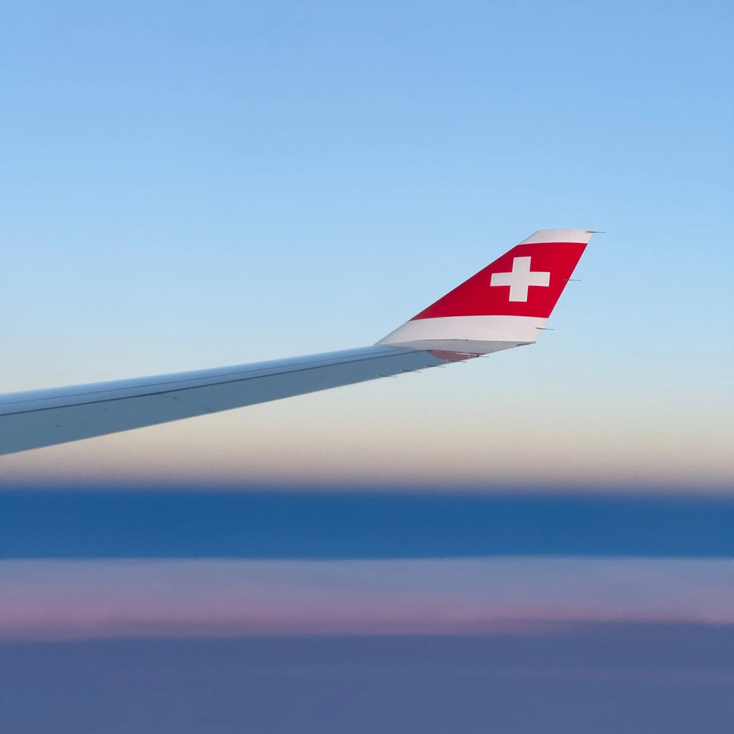
Train station in Zurich. On our way to the jump off in Meiringen. Side note: Meiringen is also known for its claim to have been the place where meringue was first created!

View from the summit of Planplatten and the Alpine tower. Our prep hike and altitude climatization was taking the gondola up to about 7380 ft above sea level and hiking back down into the valley. The timing for this trip just happened to coincide with some late blooming wild flowers which were everywhere. Even though I prefer black and white, I had to show off some of this color. It was like walking through a postcard.

Thunderstorm rolling through. We are about to head down so this isn't a good sign.

Halfway down on the prep hike, really hoping to not get struck by lighting. It started to rain just as we headed down. And of course stopped as soon as we finished. About a five mile hike down the hill.

First full hike day (12 miles) and first real view of some serious mountains. View of the Wetterhorn. We would pass by the base of this several hours later.

Looking up at the back side of the Wetterhorn.

Looking back toward Meiringen, where we started. Headed over the Grosse Sheidegg.
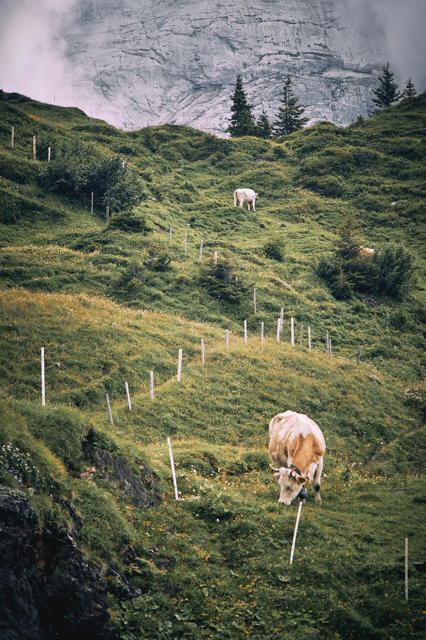
So many cows. And so many cowbells! Like the constant traffic noise in a city, around here its the constant rings of a cowbell. The farmers use them to locate the herd in foggy conditions. Which is quite frequent. Every farm animal has one.

Looking back into Grindlewald. The hike was challenging and the throngs of tourists that were met at the top was disorienting. You can hike up or take the train. Most opted for the train. I found it similar to hiking Mt. Washington in the Whites. You work your butt off getting up only to be met with hundreds of people that took the train.

The Eiger. It's hard to imagine someone climbing the face of this. Lots have lost their lives trying.

Headed down into Lauterbrunnen. Our longest day of 15 miles. The descent, equally as punishing as the ascent, was long and very steep.

Our planned rest day visiting the Jungfraujoch. Which is the saddle between the Eiger and the Mönch.
Susan looking out from the saddle. 11,362 ft above sea level. We took the train up, thankfully. Unfortunately so did several thousand other tourists.

The Great Aletsch Glacier. As seen from the Jungfraujoch station.

I cant express how steep this actually was. This image does not do it justice. Headed down into Golderli.

More thunderstorms. Thankfully we were down from the hills when these rolled through. This amazing view was from our bedroom window.

Our favorite stay. The guesthouse in Golderli. We even got a yodel serenade that evening from one of the other guests. Thanks for the good chat Katherine and Johan!

It's hard to imagine living in a place so beautiful.
About 2 miles out of Golderli and the start of a very long and what was to be our hardest day. We are headed to Kendersteg over the summit of the Schwarzhore. A total of 5000 feet of elevation gain over 4 miles. And I thought the Whites in NH were steep.

More cows wondering what we were doing walking through their field.
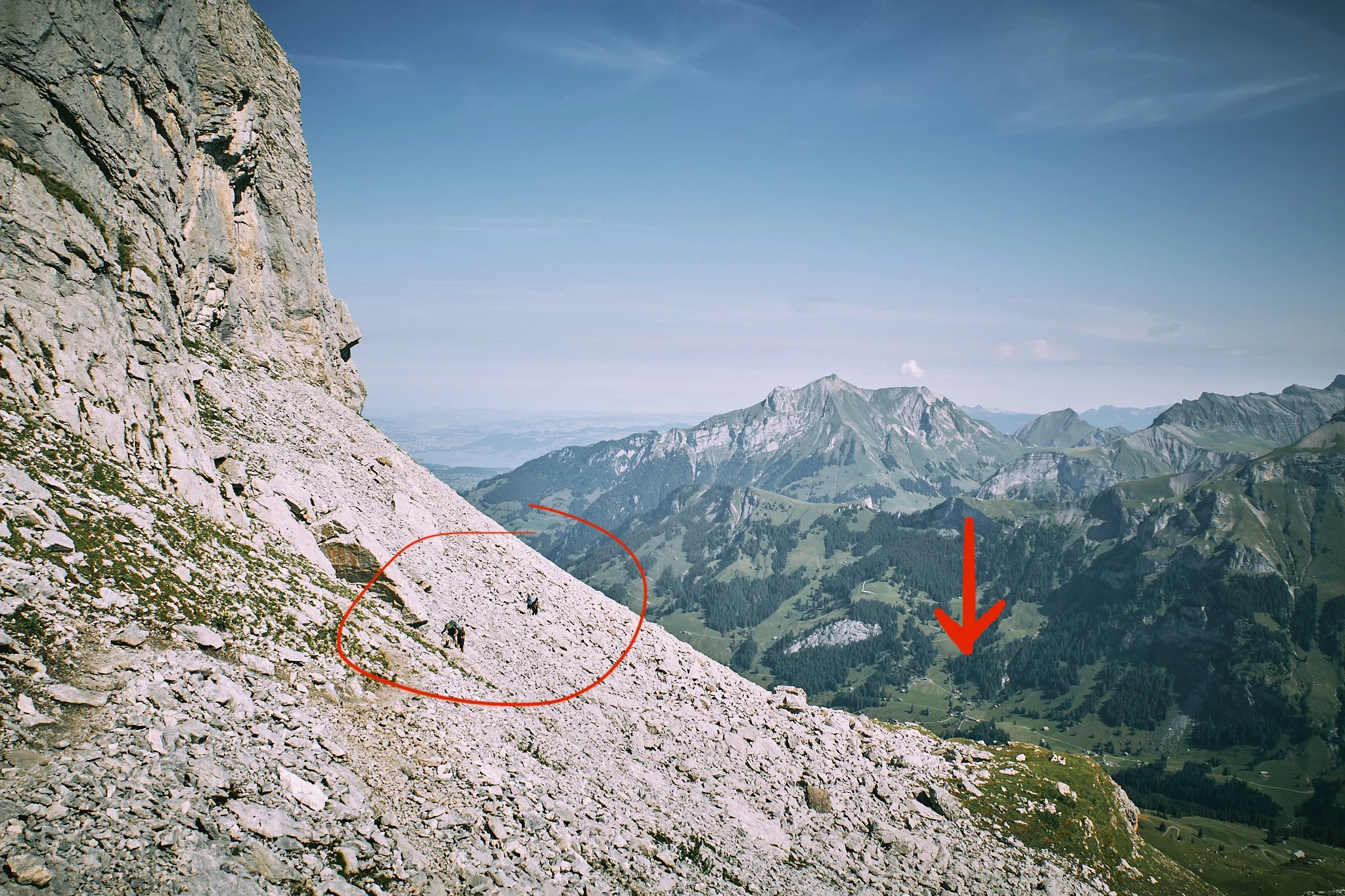
Not the greatest image but wanted to include it to give a little perspective on how nuts this hike was. The arrow is pointing at Golderli where we started. You can see the guesthouse from here. The circle is two guys that were behind us. This is a good example of how rugged and steep this was.

From hard to harder. That's what this signs says in not so many words. Going from a red and white to a blue and white trail. Ropes stuck into the loose rock was the only thing preventing us from sliding down the very steep 1000 feet scree slope that was awaiting us on the descent.

The summit of the Scharwhore. 9138 feet above sea level. Thanks Italian guy who was willing to take our pic!

This section really tested our fear of heights. There were sketchier parts but we both were too nervous to take pictures. We were way too concerned with stying on the trail. 📷 @meepthesheep

Over the crazy Scharwzhore summit. Looking down onto a glacial lake.
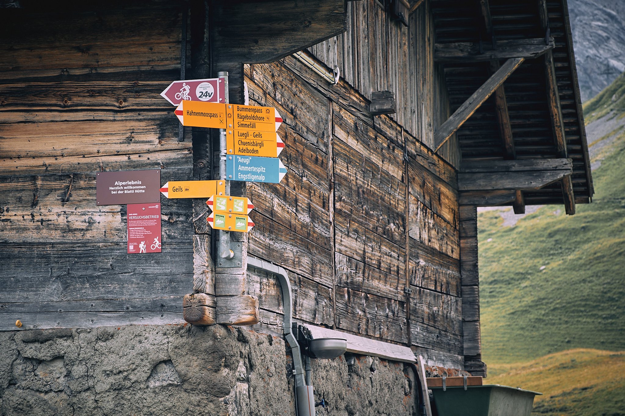
Typical trail sign. Not the easiest to interpret.

Didn't expect to see some long horns. These were not the friendliest as they had a couple of calves in the herd. They made it known we weren't welcome.

Got caught in a thunderstorm on our last day. We were kept company by this cattle dog at a cheese house. The people working here were kind enough to let us stay on their porch until the storm passed.

The end of the last day. Headed to Lenk. Roughly 60 miles of hiking some of the most insanely scenic spots I've ever been to.